13.9 km | 23 km-effort
Île, trois Santorin
ezola
User
Length
2.9 km
Max alt
169 m
Uphill gradient
183 m
Km-Effort
5.4 km
Min alt
0 m
Downhill gradient
195 m
Boucle
Yes
Creation date :
2023-05-12 10:53:18.0
Updated on :
2023-05-12 16:01:32.487
1h00
Difficulty : Easy
FREE GPS app for hiking
About
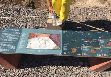
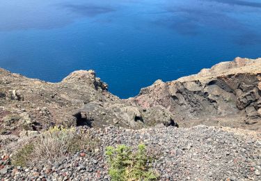
Trail Walking of 2.9 km to be discovered at Aegean, Thira Regional Unit, Ia Municipal Unit. This trail is proposed by ezola.
Positioning
Country:
Greece
Region :
Aegean
Department/Province :
Thira Regional Unit
Municipality :
Ia Municipal Unit
Location:
Community of Thirasia
Start:(Dec)
Start:(UTM)
352351 ; 4033908 (35S) N.
Comments
Trails nearby
Finikia-Imerovigli-Finikia
Walking
Difficult
Ia Municipal Unit,
Aegean,
Thira Regional Unit,
Greece
4h 38min
Yes
Nea Cameni
Walking
Thira Municipal Unit,
Aegean,
Thira Regional Unit,
Greece
2.7 km | 4.2 km-effort
1h 29min
Yes
arrivée à Paros
Motorboat
Very easy
Ia Municipal Unit,
Aegean,
Thira Regional Unit,
Greece
103 km | 103 km-effort
7h 41min
No
Oia-fira
Nordic walking
Ia Municipal Unit,
Aegean,
Thira Regional Unit,
Greece
9.5 km | 14.7 km-effort
1h 33min
No
santorin- amorgos
Other activity
Very easy
Ia Municipal Unit,
Aegean,
Thira Regional Unit,
Greece
68 km | 68 km-effort
1h 8min
No
Oia -> Thira
Walking
Easy
Ia Municipal Unit,
Aegean,
Thira Regional Unit,
Greece
9.5 km | 14.7 km-effort
3h 16min
No
Premier. Île, Volkan, Georges.
Walking
Easy
Thira Municipal Unit,
Aegean,
Thira Regional Unit,
Greece
2.5 km | 3.9 km-effort
46min
Yes
Santorin
Motorbike
Ia Municipal Unit,
Aegean,
Thira Regional Unit,
Greece
2.8 km | 4.5 km-effort
2h 39min
No
volcan néa Kaméni
Other activity
Very easy
Thira Municipal Unit,
Aegean,
Thira Regional Unit,
Greece
1.2 km | 1.5 km-effort
20min
No